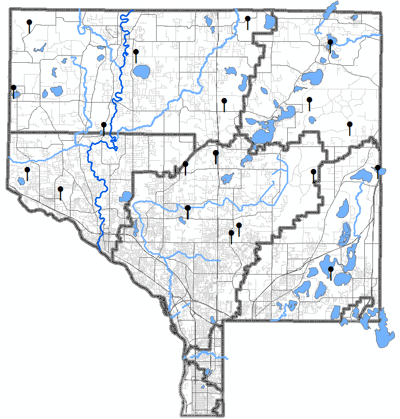
Since 1996, ACD and local partners have monitored subsurface water levels in 19 wetlands across Anoka County. Reference wetland data provide insights into trends in shallow groundwater hydrology. This can be useful for a variety of applications, from flood prediction to drought severity indices.
Wetland regulations are often focused on determining whether a specific area is, or is not, a wetland. This isn't easy because most wetlands are not continuously wet, especially at the surface. To help facilitate fair, accurate wetland determinations. These monitored wetlands serve as a reference for conditions in Anoka County, and are thus called reference wetlands. This hydrologic information, along with an examination of vegetation and soils, aids in accurate wetland determinations and delineations.
Water levels in Anoka County wetlands can vary greatly depending on the time of year and seasonal precipitation. For example, in a typical precipitation year, many wetlands exhibit seasonal hydrology that is near the surface in spring and then declines sharply later in the growing season. Current and historical wetland monitoring results can be viewed or downloaded usingACD's Online Database.
LINKS:
2025 Reference Wetlands Summary Sheet