Spring is here. If you have an irrigation system for your yard, you're likely considering getting it up and running within the next month or two. System startup is the time when you're setting the watering duration and frequency for each zone in your yard. These settings often remain unchanged throughout the season, which typically results in overwatering. Overwatering wastes drinkable water, and assuming you don't have a private well, it also wastes money.
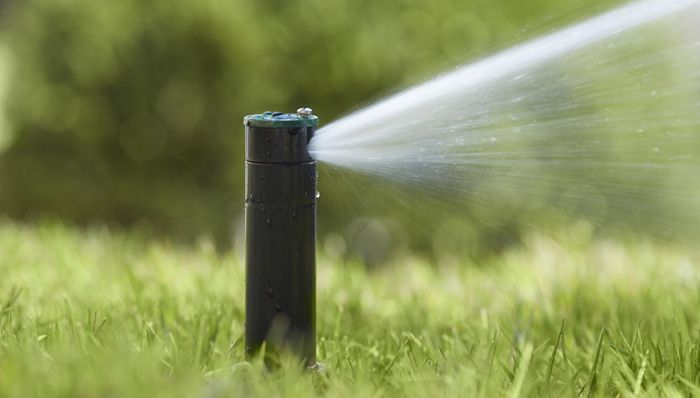
This year, in addition to following city restrictions (e.g. odd/even watering schedules), try actively managing your irrigation controller. Active management consists of adjusting run times based on local conditions. For example, during periods with sufficient rainfall, watering duration and frequency can be reduced. During these times, you can simply turn your irrigation system off. In contrast, during periods of extreme heat and drought, supplemental watering may be necessary. Watch your yard for signs of drought before turning on your irrigation system, and rely on rainfall as much as possible. When you need to use your irrigation system, water your lawn one time or less per week with a good soaking to encourage deeper root growth, and schedule watering times in the morning to reduce evaporation associated with midday heat and wind.
An alternative to active management is a smart irrigation controller. Smart irrigation controllers use an internet connection to actively monitor local precipitation patterns and automatically adjust watering frequency and duration accordingly. Regardless of whether you choose active management or a smart irrigation controller, both are effective options for reducing water use and saving money.
Visit the University of Minnesota Extension's Lawn Care website for additional lawn management resources.