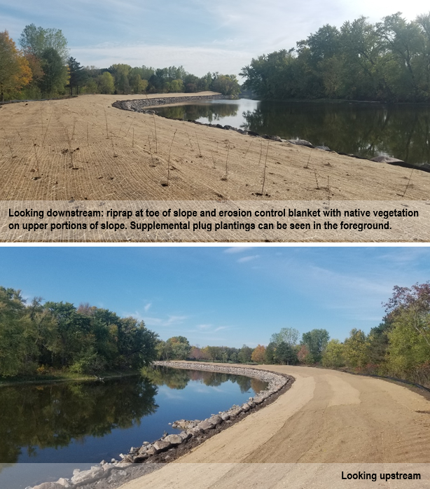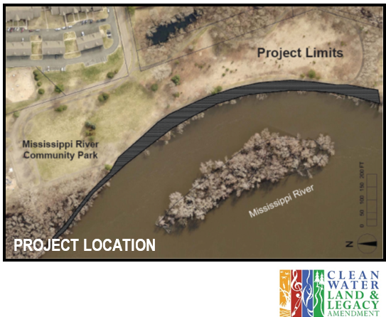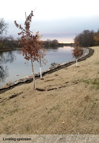
The riverbank stabilization project in Mississippi River Community Park is one step closer to completion. Native trees (container size) have been planted along the slope above the riprap. Upland species (e.g. Bur Oak) were planted higher on the slope and floodplain species (e.g. Swamp White Oak) were planted lower on the slope.
Remaining project elements include the planting of dormant live stakes near the top of the riprap in a zone that will see inundation during high water conditions, and the planting of bare root shrubs and trees along the slope above the riprap. Similar to the container size trees, both upland and floodplain bare root species will be planted when they become available. Roots associated with the vegetation will stabilize the bank above the riprap.
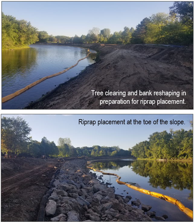
Tree clearing, bank reshaping, riprap installation, seeding, and erosion control blanket installation were all previously completed. The project stabilized approximately 1,500 linear feet of severely eroding riverbank.
The project is funded by a Clean Water Fund grant, a Watershed Based Funding grant, and match from the City of Anoka.