Rain garden revitalization is beginning in the Coon Creek Watershed as ACD moves forward with a project to restore aging stormwater infrastructure and enhance long-term water quality.
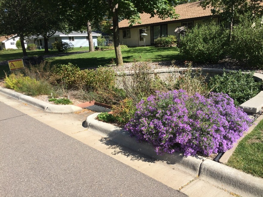
Funded through state Watershed-Based Implementation Funding, the initiative focuses on older rain gardens that still effectively capture and filter stormwater runoff but may no longer function as intended due to age and accumulated sediment. Rain gardens help capture runoff from streets, driveways, and rooftops before it reaches nearby water resources.
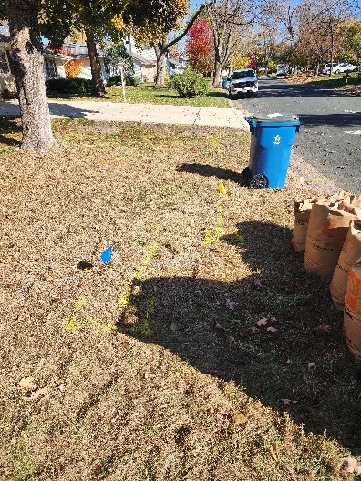
Interest in the program has been strong, with over 30 landowners volunteering their rain gardens for consideration, exceeding the number of sites funding can support. Site visits are currently taking place and will continue throughout June and July to evaluate conditions and prioritize locations with the greatest opportunity for improvement.
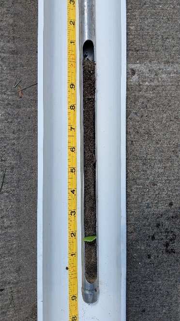
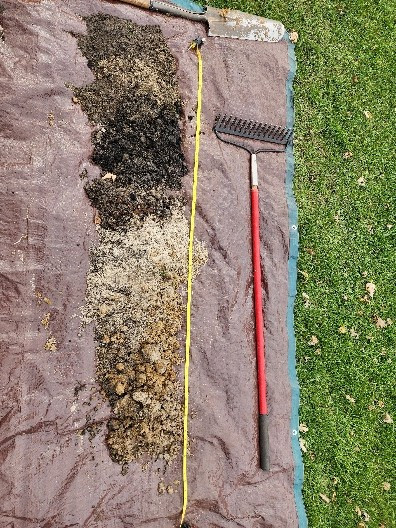
During site visits, staff document rain garden conditions, measure sediment accumulation, and evaluate overall function. Selected rain gardens will be revitalized through sediment removal, infrastructure repairs where needed, and improved plantings to help restore function and keep local lakes and streams cleaner.
Want to learn more about how rain gardens work and why they matter? Check out ACD's rain garden video on YouTube. For more information contact, Mitch Haustein, Stormwater & Shoreland Specialist, at