Mussels, often referred to as clams, can be found in many lakes and rivers in Minnesota. Of the 51 freshwater mussel species that have historically lived in Minnesota, 28 are now gone, endangered, threatened, or of special concern. None of them are legal to catch or relocate. If a rare mussel has been identified in an area of a lake or river where a project is proposed, the permit process grinds to a halt. At the same time, experts with specialized certifications are called in, equipped with scuba gear, to carefully locate and relocate mussels from the construction zone. Few people have the necessary expertise and it can take a long time to get one to a job site. The not-so-rare mussels are left to fend for themselves.
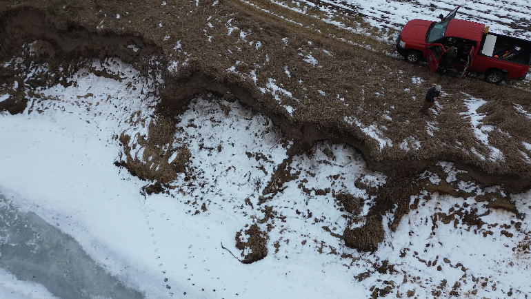
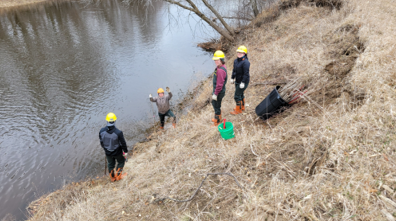
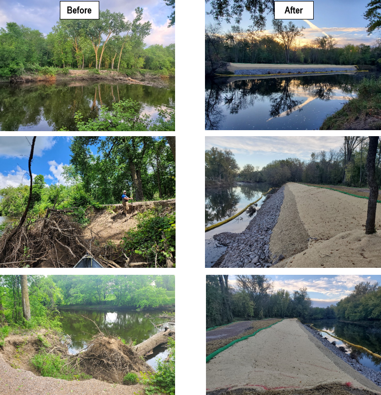
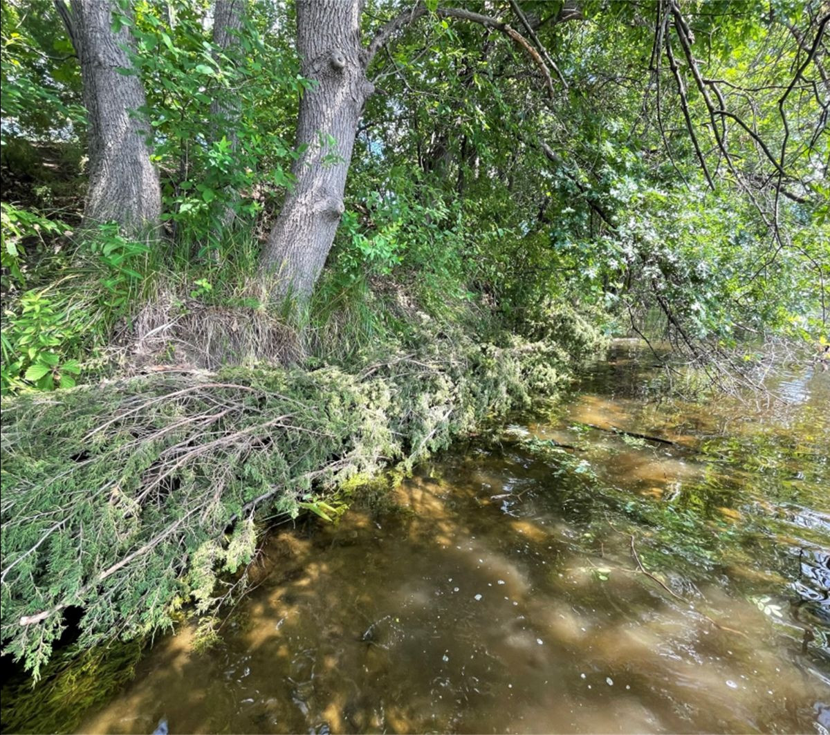
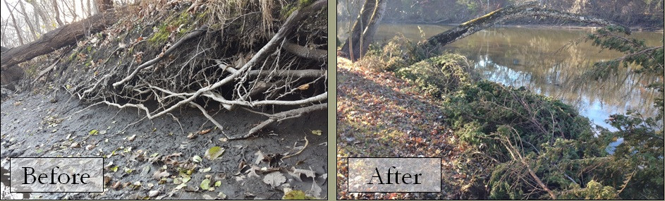
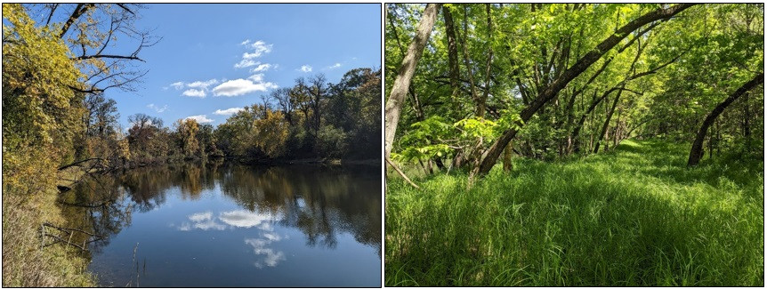
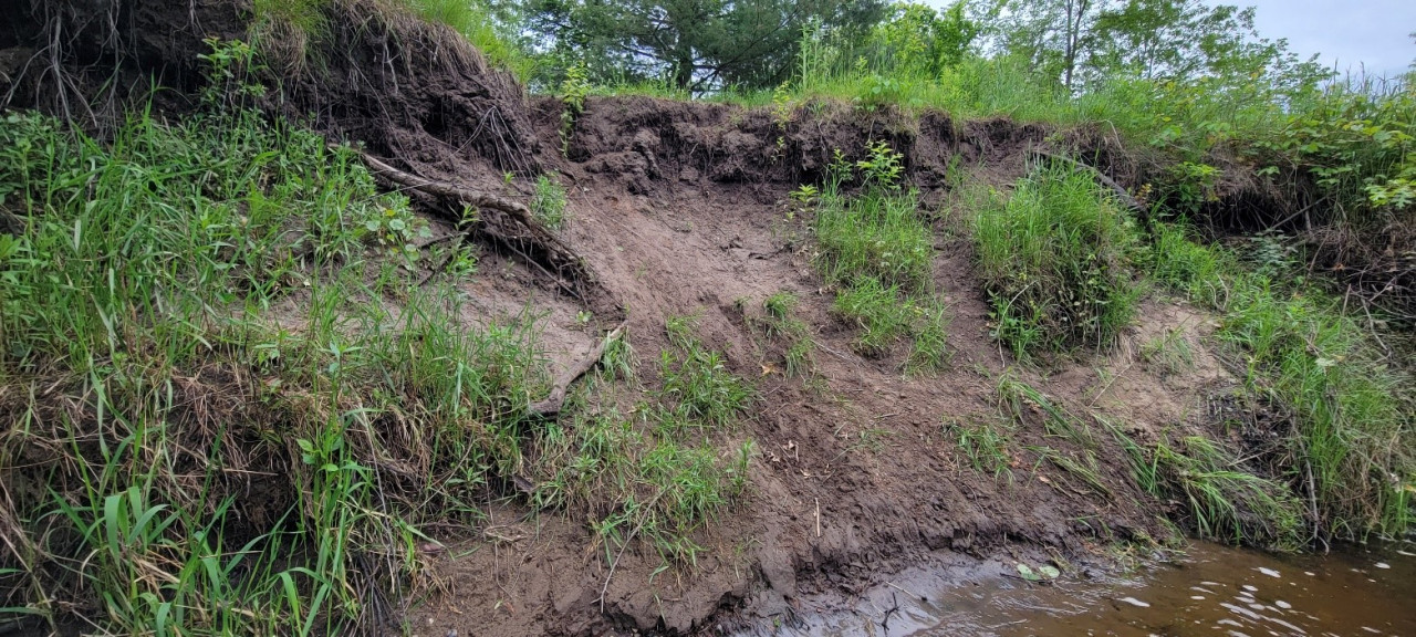
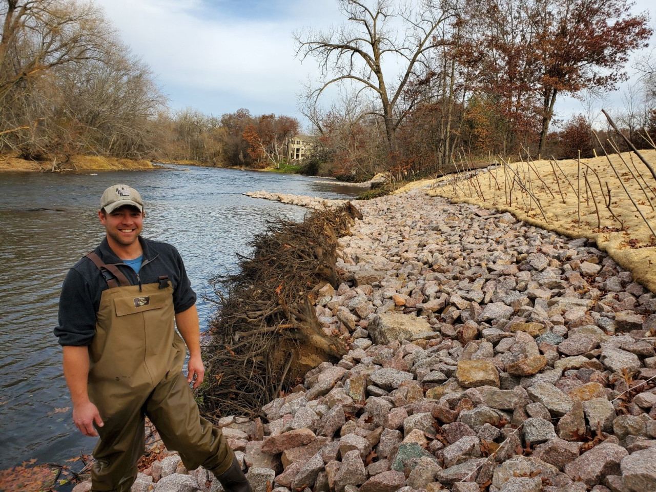
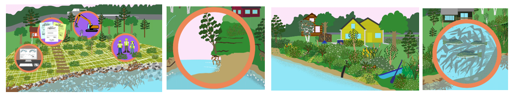
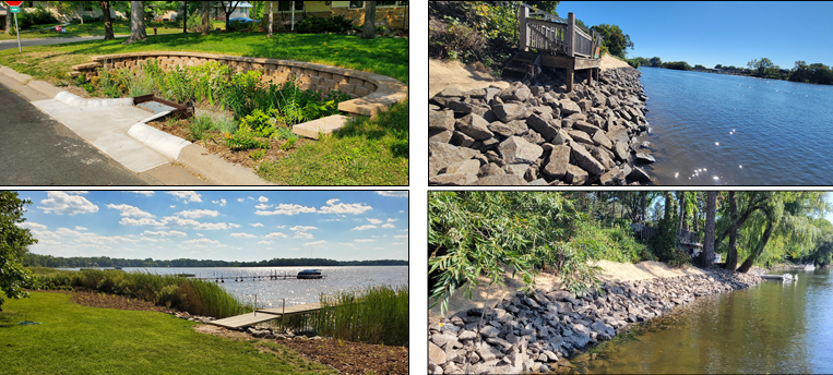
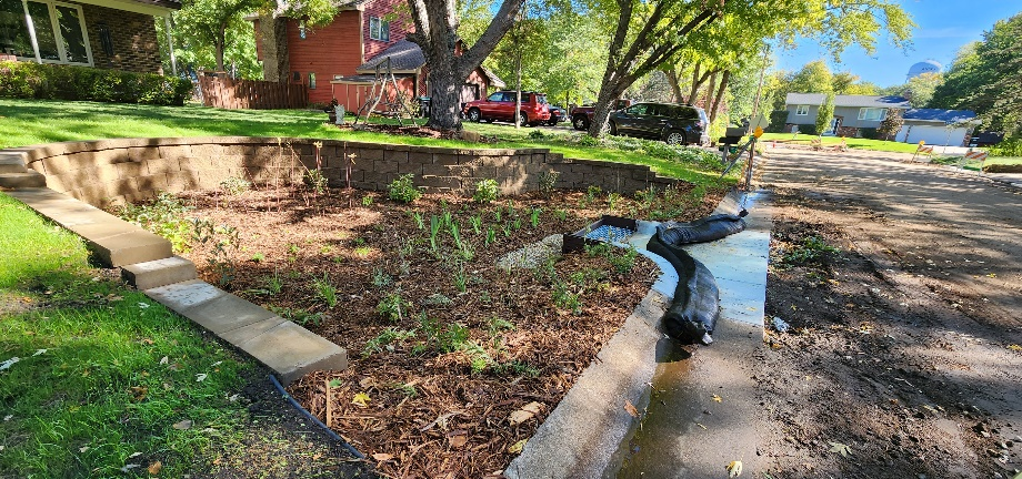
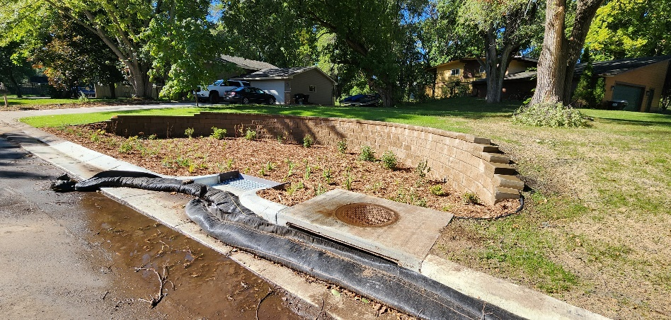
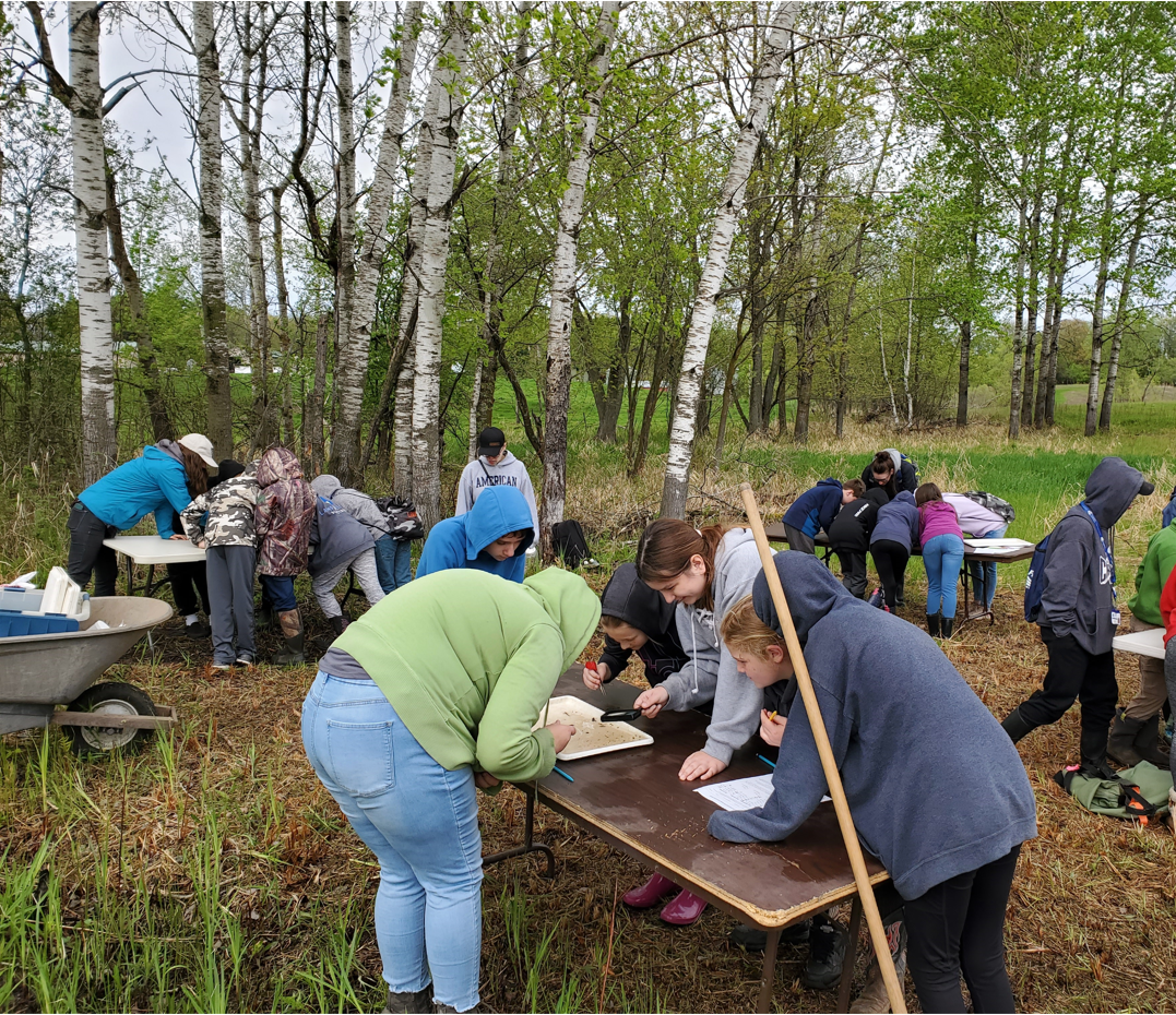
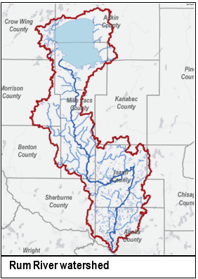
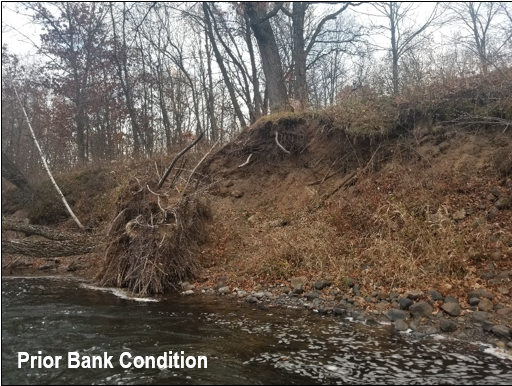
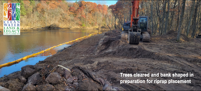
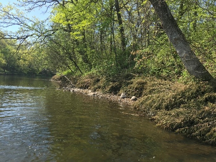
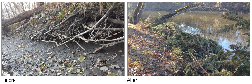
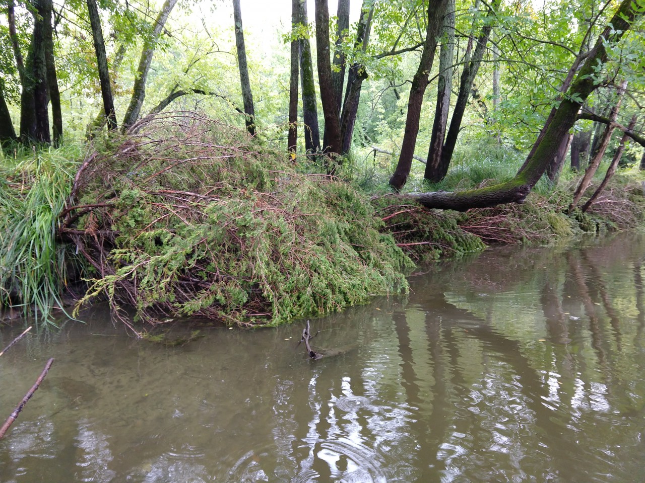
All of this intersects with the Anoka Conservation District's (ACD) services, as we often help property owners on lakes and rivers address excessive erosion. Left unchecked, bank erosion can impair water quality, smother wildlife, and damage property and infrastructure. We've been fortunate to avoid all identified rare mussel populations and the permitting challenges that come with them. We started thinking about what would happen if our luck runs out and asked ourselves, "What if we could come up with a way to safely relocate all mussels from all construction zones without hiring Scuba Steve?" We may have come up with a solution that contractors could implement with readily available equipment at a reasonable cost, but first, there are some things you should know about mussels.
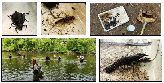
Mussels are interesting creatures. When they're born, they must immediately latch onto the gills of a fish, where they live rent-free until they are large enough to drop off and sink into the sand. Each mussel species can only pair up with a specific fish species. Some mussels live over 100 years and most of that time is spent in the top 4 inches of sand and gravel in lakes and rivers. Most mussels prefer to hide in river or lake bottoms with only their mouths sticking out of the sand. Mussels eat by siphoning water and filter out microscopic organisms and plant material that are floating by. They are like HEPA filters, purifying our water bodies. While mussels can move several feet a day to escape dropping water levels, they often spend their entire lives within an area smaller than a kitchen table. They are fairly helpless, except that some local species have such hard and sharp shells that they earned the name heel-splitter, yikes!
We explored numerous ideas before settling on one that we believe has promise. Those left on the cutting room floor included:
- doing nothing because then all of the mussels would die;
- excavating out the soil in the construction zone because the mussels would likely be crushed and die;
- using a rake or sieve because only large mussels could be extracted and the rest would be left to die; and
- hydro-excavation using an impeller because it's difficult to control and needs an electrical power supply, which near water would set up the operator potentially to die.
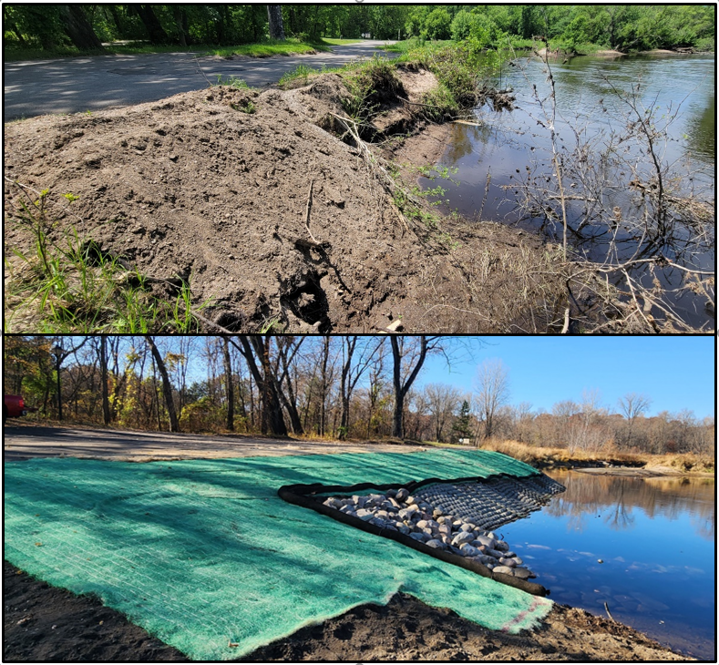
All of those options simply involved too much dying. So, we landed on using hydro-excavation, using a high-pressure water pump to blow the top 4" of sand and gravel out into the water and out of the construction zone.
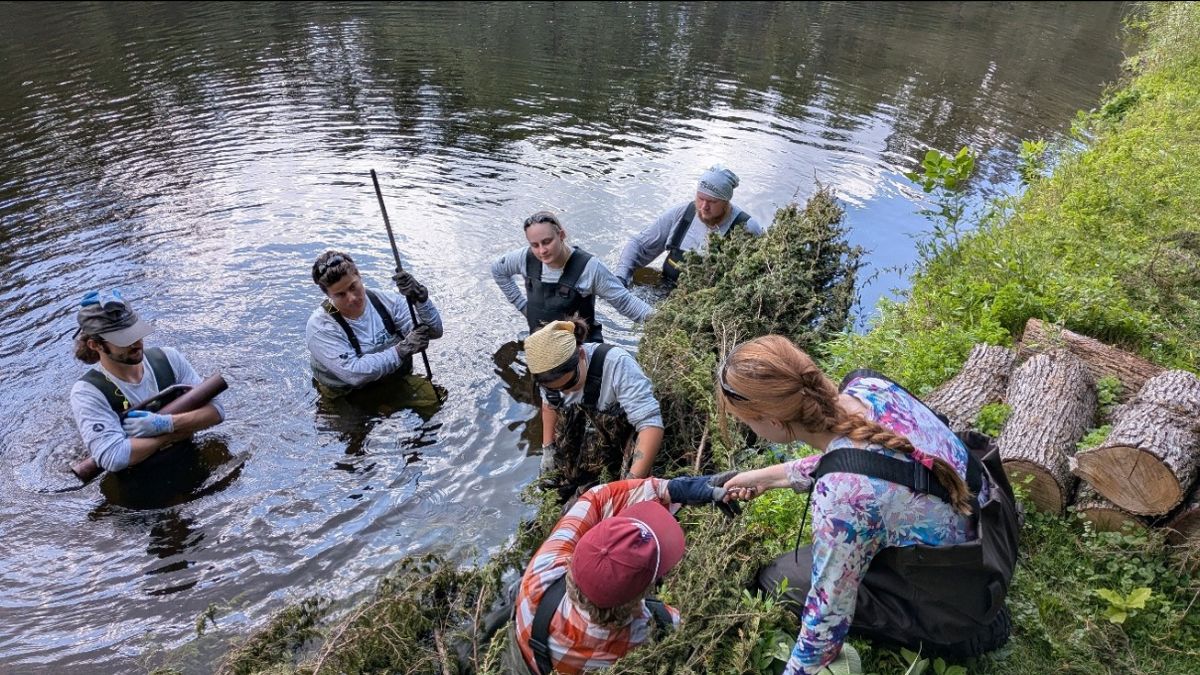
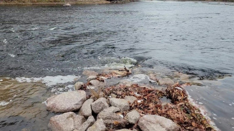
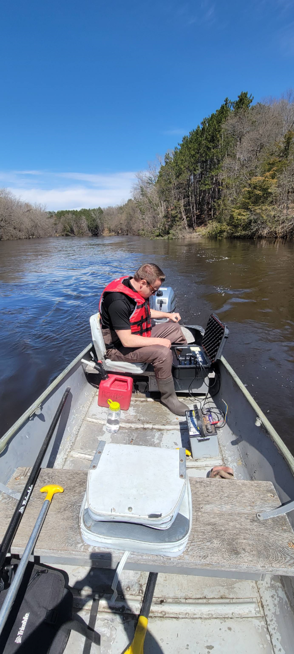
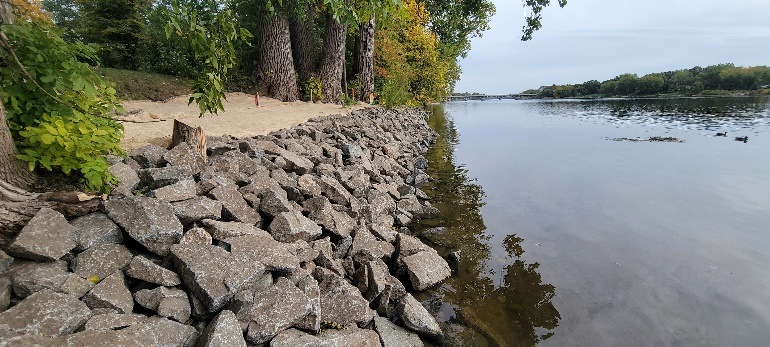
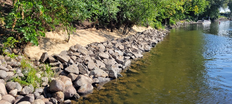
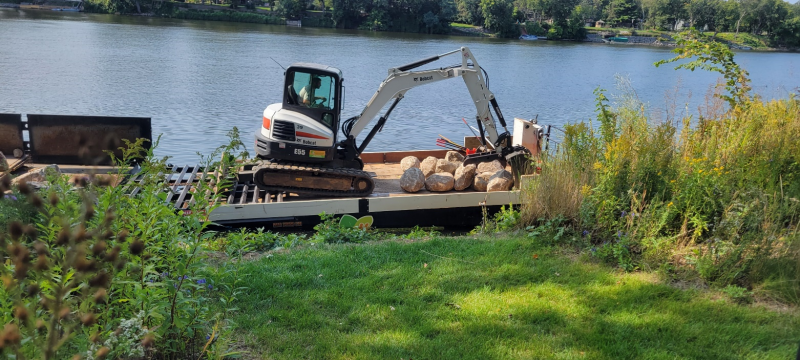
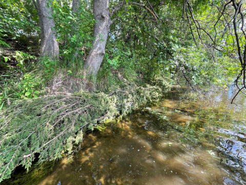
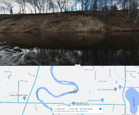
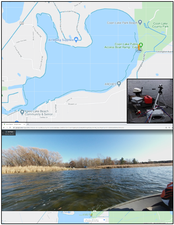
Photo: ACD staff floating a high-pressure water pump on the Rum River.
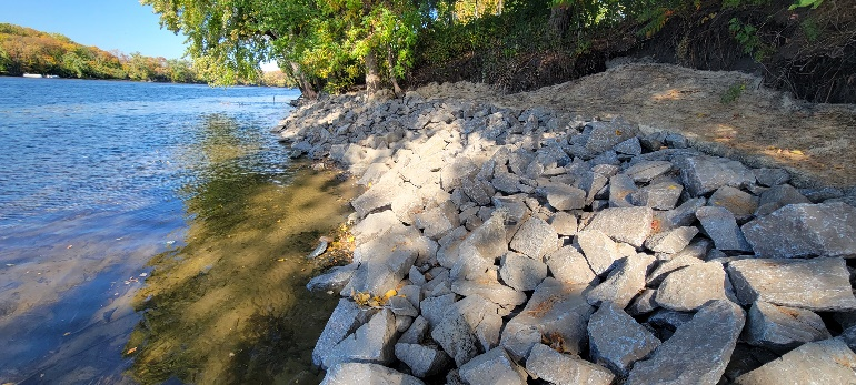
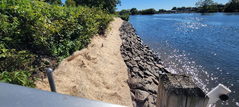
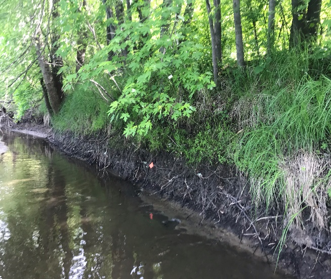
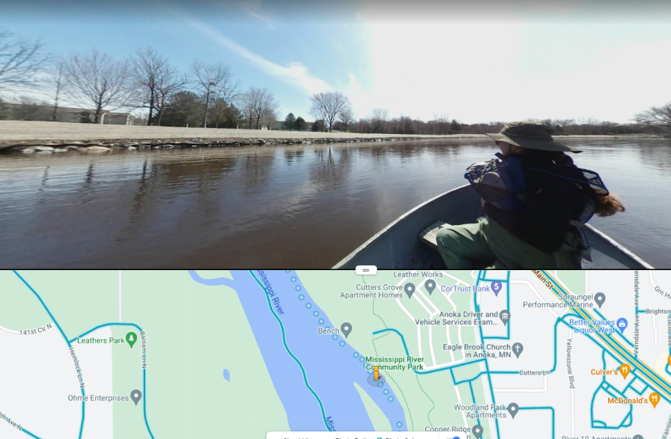
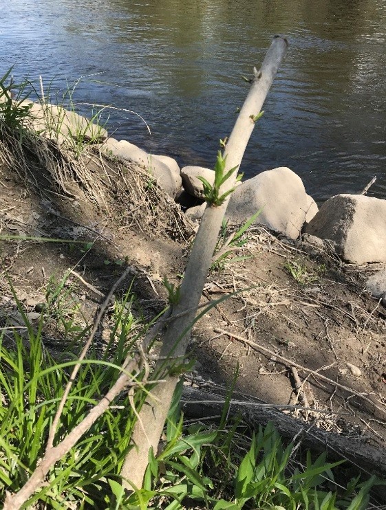
Photo: ACD staff placing rebar to measure soil movement in the river.
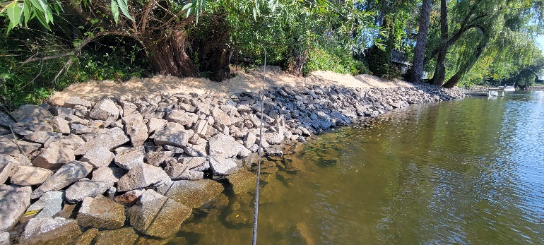
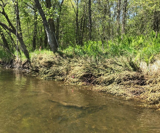
ACD staff couldn't test this theory on actual mussels because it's illegal to handle and relocate live mussels. Therefore, we chose areas without any known mussels and conducted experiments to determine how effectively we could remove the top layer of soil from the construction zone. Logically, if we could successfully relocate the top 4" if soil out of the construction zone, we would also relocate all of the mussels within that soil. The process involved pumps, hoses, rebar, waders, underwater cameras, tablets, measuring instruments, and talented staff. After much well-documented trial and error, we honed in on a process that did the best overall. This can all be found in a recently completed report, "Mussel Mitigation Techniques: Exploring Sediment Relocation Protocols to Reduce Construction Zone Impacts." Soon, this report will be forwarded to DNR staff who specialize in mussel conservation, where we hope the ideas will be explored, refined, and codified into formal recommendations. With a bit of effort and open-mindedness, perhaps we can end the era of letting the 'not-so-rare' mussels fend for themselves.
This analysis was completed in part with funding from the Outdoor Heritage Fund of the Clean Water, Land, and Legacy Amendment.