ACD delivered on a MPCA administered Environment and Natural Resource Trust Fund SSTS fix-up grant. ACD has an ongoing low-income SSTS fix-up program and was able to leverage these funds to help replace 10 failing septic systems in Anoka County. Photo: Map of Anoka County showing locations of SSTS fix-up projects.

ACD established a well sealing cost-share program, using a FY20 Clean Water Fund (CWF) grant. ACD worked with hundreds of landowners, promoting and educating on well sealing, resulting in the sealing of 64 high-priority unused wells. Photo: Map of Anoka County showing locations of well sealing projects.
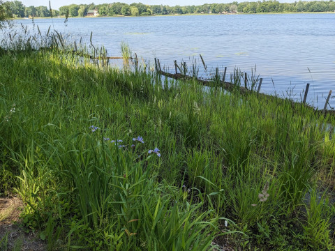
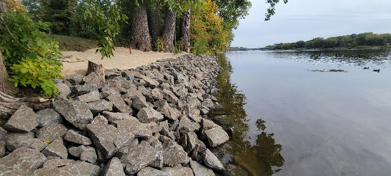
ACD completed a county wide buffer inventory using new 2024 ariel images. ACD staff will continue to work with Anoka County residents in 2025, to ensure the buffer law is implemented. Photo: Example profile of a river and the vegetative buffers in the riparian zone that treat stormwater runoff before it enters the waterbody.
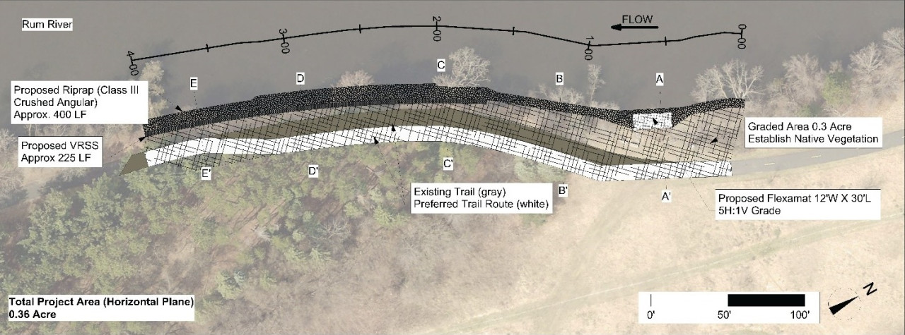
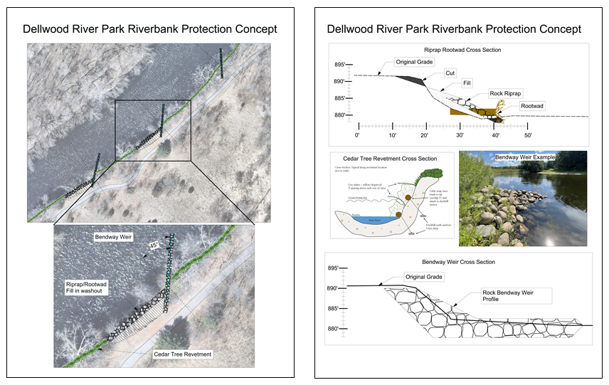
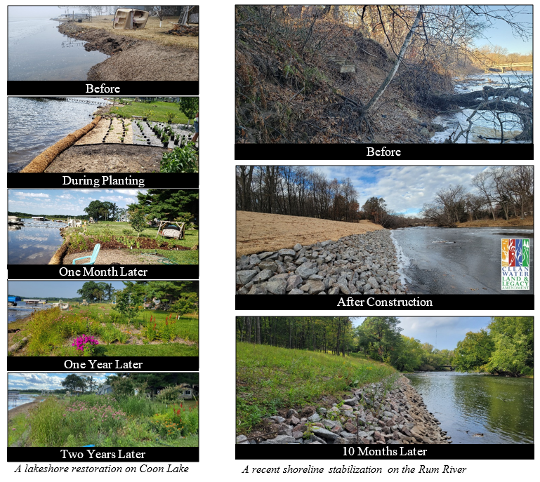
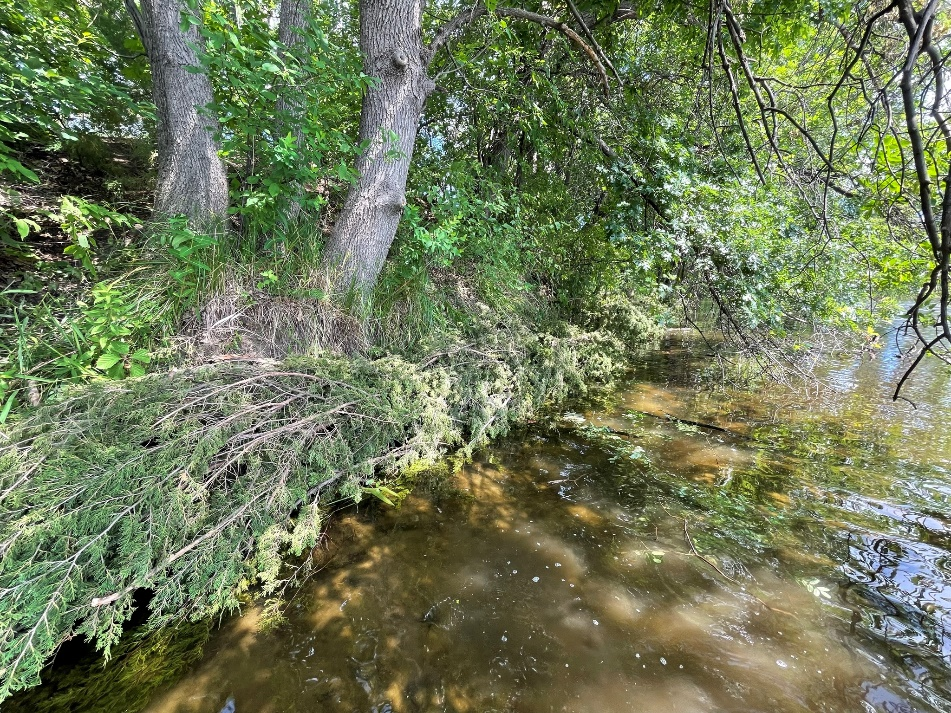
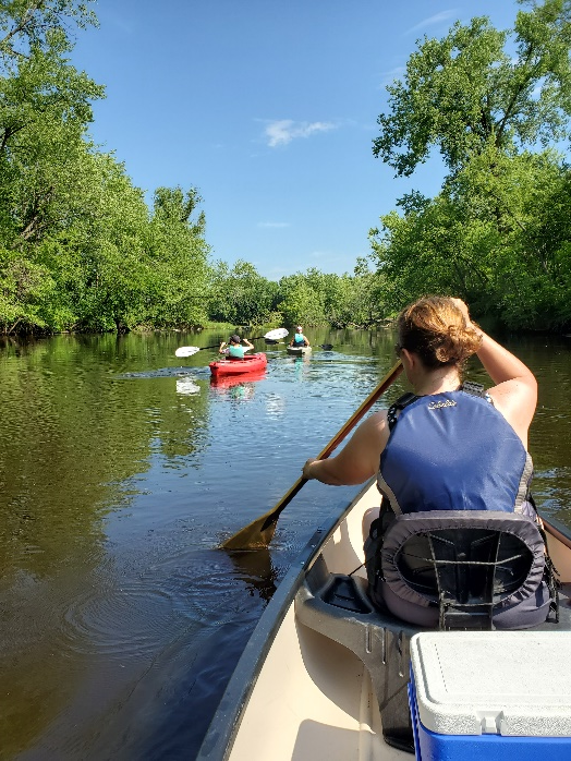
ACD, Conservation Corps MN & Iowa (CCMI), and Anoka County Parks, delivered on a Clean Partners Legacy grant to install 2,933 feet of cedar tree revetments on the Rum River. Photo: ACD staff and CCMI crew installing a cedar revetment.
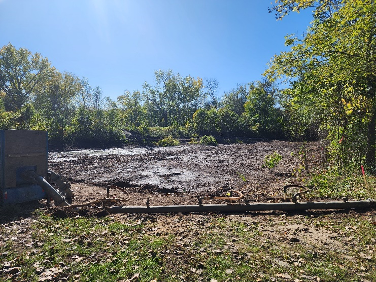
While 2024 was a fruitful year for project installation, it was also filled with behind-the-scenes planning setting the stage for exciting future work. Amongst these efforts was the identification of priority sites for holistic fish and wildlife habitat restoration projects throughout the Rum River Corridor; part of collaborative effort with a multi-phase Outdoor Heritage Fund grant, this will benefit several acres of wetland and riparian habitat and hundreds of linear feet of riverbank and in-stream habitat. Keep an eye out for projects resulting from these and many other exciting planning efforts that occurred in 2024! Photo: 6 acres of ditched wetland dominated by invasive species to be restored in 2025.
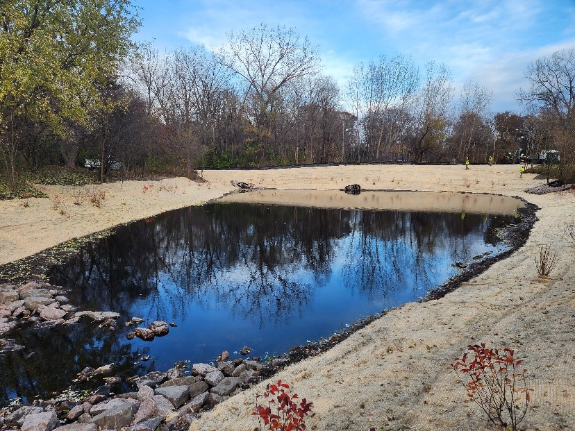
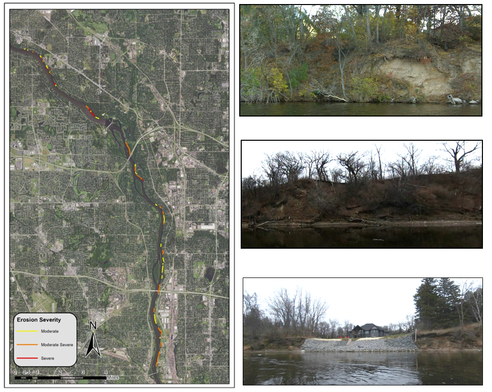
2024 also brought the completion of three Subwatershed/ Stormwater Retrofit Analyses covering both urban and rural priority watersheds in the county. Through these, we have new ‘playbooks’ to reference while pursuing the most cost-effective water quality improvement projects benefiting the Rum and Mississippi Rivers.
2135 Hits