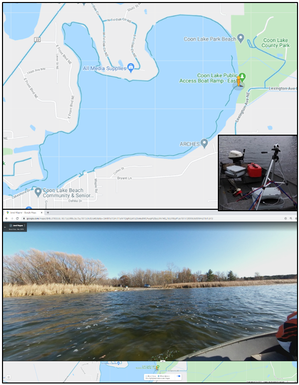
The Anoka Conservation District has been collecting photo inventories of lakes and rivers around Anoka County and uploading them to Google Street View. We use these photos to look for restoration and stabilization opportunities at eroded or degraded shorelines. You can also view these photos just like you can view streets on Google Maps! All of our photos are available to the public, and so far we have over 618k views! All you have to do to see the photos for yourself is:
1. Navigate to Google Maps in a web browser,
2. Zoom to the lake or river you are interested in (current list of completed inventories below),
3. Grab and drag the "Little Orange Man" in the bottom right of Google Maps to a blue circle or line in the lake or river,
4. And finally, you can pan photos as 360° orbs by clicking and dragging your mouse around. You can also advance around the lake or down the river by clicking the floating gray arrows that appear on the water to zoom to the next picture.
So far we have photos available on the following waterbodies:
- Rum River
- Mississippi River (south of Coon Rapids Dam)
- Lake George
- Coon Lake
- Linwood Lake
- Martin Lake
- Typo Lake
We are planning to do more inventories in the coming years, so check back into Google Maps periodically, or continue to follow us for more updates!