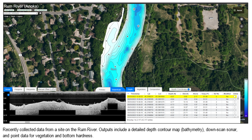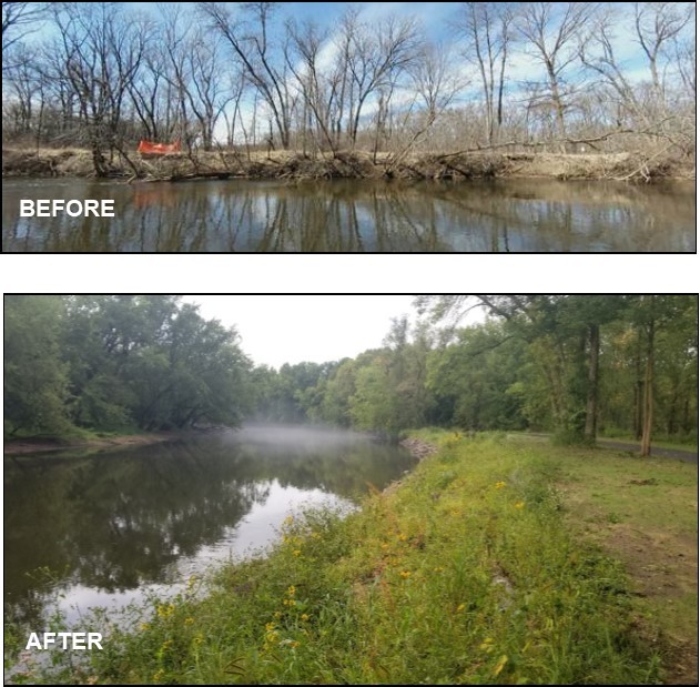
ACD staff have been testing the use of sonar to aid with the design of shoreline stabilization projects.
Lake and river bottom elevations are often required when designing projects. Collecting these bottom elevations manually with survey equipment often pose safety risks, limits resolution, and can be time consuming. Automated collection of underwater elevation data is possible with readily available sonar technology and post-processing services. Manually collecting data at the same resolution is infeasible.
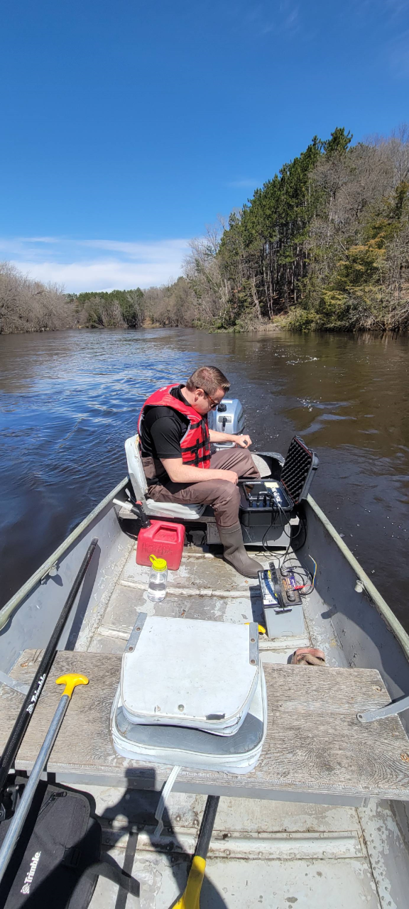
A fishing depth finder and transducer combination with active mapping capabilities is necessary for data collection. The equipment can be configured in a portable setup for use in a kayak, canoe, or motorized boat to enable data collection on a variety of waterbodies (e.g. stormwater ponds, lakes, or the Mississippi River). While idling or paddling around the area of interest, data is collected and stored on a memory card and then uploaded to a third-party software for post-processing.
Technology limitations still remain, but the end products provide a picture of the underwater landscape through a variety of file types that are useful for project design, mapping, and inventory work.
For more information contact Mitch Haustein at 763.434.2030 ext. 150 or