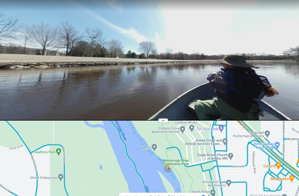
“Google River View”: 360° Photos Collected on the Rum and Mississippi
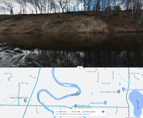
Photos collected from near-shore zones on surface waters throughout the county serve as valuable tools for assessing lakeshore and riverbank conditions. Following a day in the boat with a 360° camera, these photos are uploaded to Google Street View, making them accessible to anyone. ACD then uses these them to compile erosion inventory reports, which describe erosion severity and stabilization project needs on high-priority waterbodies such as the Rum and Mississippi Rivers. Updated photos for these rivers were collected throughout the first week of May and are now available to view (alongside those captured in previous years) on Google Maps.
While browsing through these photos, you are sure to see a beautiful river view. You may also notice banks currently experiencing noticeable erosion or, alternatively, portions that have recently been stabilized and planted with native vegetation.
When you subscribe to the blog, we will send you an e-mail when there are new updates on the site so you wouldn't miss them.