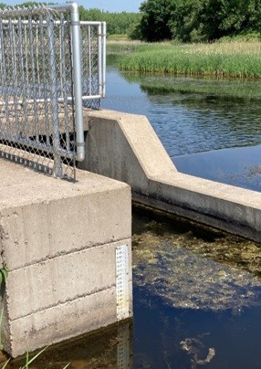
Monitoring Drought Strategically

The majority of the state is currently experiencing drought conditions, including Anoka County. The U.S. Drought Monitor (USDM) is a map that is updated each Thursday to show the location and intensity of drought across the country. Drought categories show experts' assessments of conditions related to dryness and drought, including observations of how much water is available in streams, lakes, and soils compared to usual for the same time of year.

Each week, drought experts consider how recent precipitation totals across the country compare to their long-term averages. They check variables including temperatures, soil moisture, water levels in streams and lakes, snow cover, and meltwater runoff. Experts also check whether areas are showing drought impacts such as water shortages and business interruptions. To learn more about current drought conditions in Anoka County and other areas of the country visit https://www.drought.gov/states/minnesota/county/anoka

Anoka County
USDM’s five-category system
Current drought statistics for Anoka County
  702 Hits

Lake Water Levels

The Department of Natural Resources collaborates with Anoka Conservation District to collect lake level data from many lakes across the county. This partnership allows ACD to work directly with county residents who volunteer for the lake level program. These volunteers record the lake level from a staff gauge placed in the lake (typically close to their property) weekly. These data are then reported to ACD and the DNR, and are used on the LakeFinder website.

The DNR LakeFinder website is the best means for the public to access available data on more than 4,500 Minnesota lakes relating to fisheries information, lake area and maximum depth, depth maps, lake water levels, water quality and clarity, air photos, and topographic maps. About 1,450 of the lakes have a historical record of more than 100 water level readings.

At the LakeFinder main page, go to "Find a Lake" and search by county, lake name, or 8-digit identification number for any lake. Click on the lake in the Search Results. On the next page, click on Water Levels report in the left hand column.

The Lake Water Level report page contains information from reported data, including:

  • reported historical and current lake levels
  • period of record and number of readings
  • highest recorded lake level
  • highest known lake level
  • lowest recorded lake level
  • recorded range
  • ordinary high water level [also shown as the red line on the 10-year graph]
  • datum
  • benchmarks
  • most recent 10-year graph [X-axis Year tick mark references mid-year]

ACD is currently seeking a volunteer for Peltier Lake. The permanent staff gauge is affixed to the outlet dam and is easily accessible from the Peltier Lake and Rice Creek Boat Launch parking lot. Having consistent data will help keep the DNR's LakeFinder website up to date throughout the summer. If you are interested in volunteering in taking weekly readings at Peltier Lake, you can reach out to Mollie Annen at This email address is being protected from spambots. You need JavaScript enabled to view it. or at 763-434-2030 ex. 180

  1215 Hits