
Hydrology is the study of water movement and its interactions with the surrounding environment. As water travels through a watershed, it transports sediment, nutrients, pollutants, heat, and living organisms. These movements influence water quality, habitat conditions, flood risk, and overall watershed health.
Water is continuously moving through the hydrologic cycle—flowing across the land surface, infiltrating into the ground, evaporating into the atmosphere, and returning as precipitation. While this cycle is continuous, water availability varies over time and across locations, resulting in periods of drought, flooding, and other hydrologic extremes.
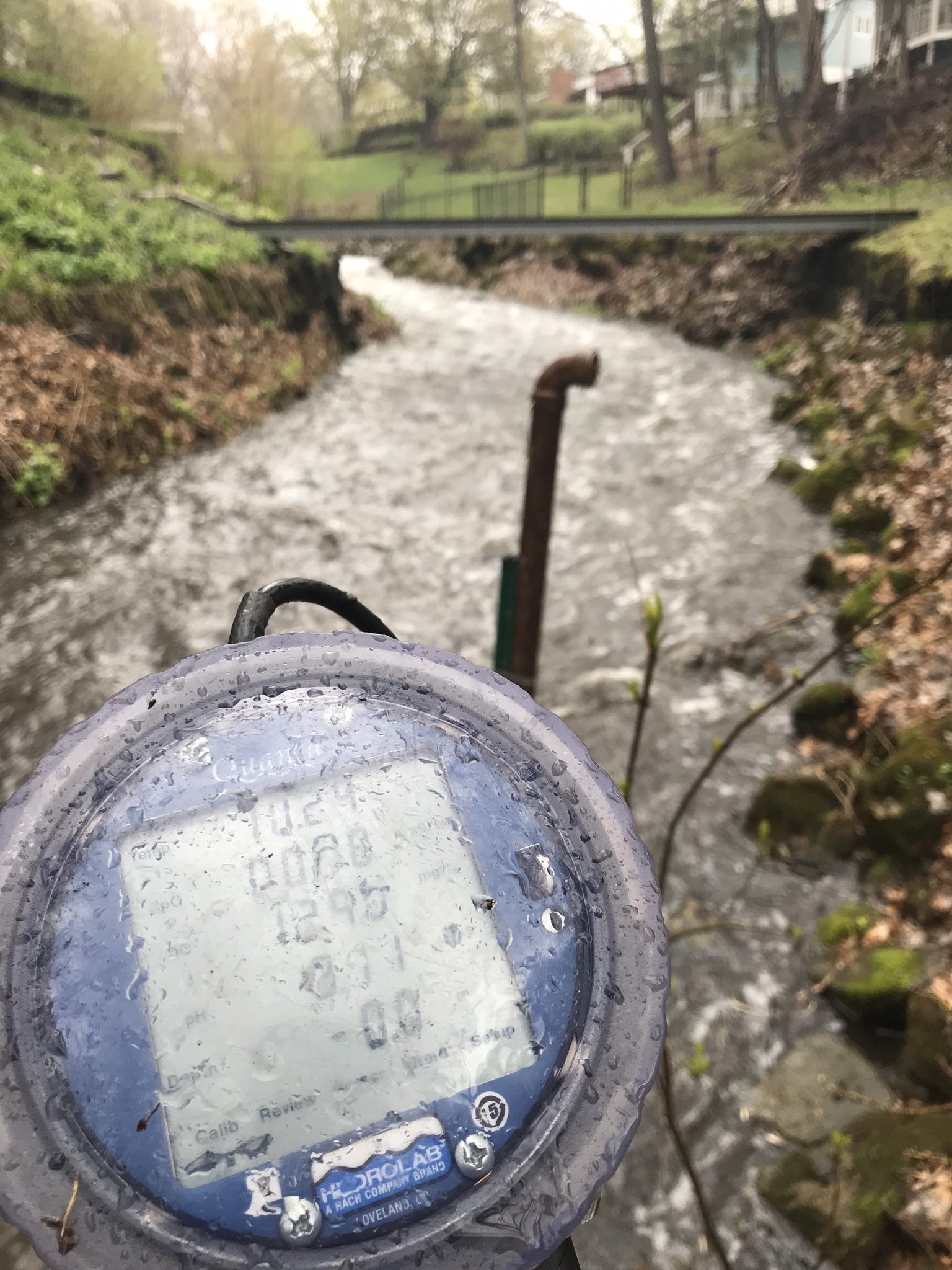
ACD monitors stream hydrology on rivers, streams, and drainage ditches throughout Anoka County. These data help engineers, watershed managers, and conservation professionals better understand the impacts of rainfall events, land use changes, and stormwater management practices. The information supports flood forecasting, infrastructure design, pollutant load calculations, watershed planning, and computer modeling efforts.
Water level monitoring is conducted using pressure-transducer data loggers that record water levels every 15 minutes during the open-water season. The equipment is downloaded and maintained periodically throughout the monitoring period. Each year, monitoring stations are surveyed and calibrated to ensure water level measurements correspond to a consistent sea-level elevation reference.
At select monitoring locations, ACD has developed rating curves—mathematical relationships between water level and streamflow—that convert water-level measurements into flow estimates. These flow data provide a more complete understanding of watershed conditions and water movement throughout the county.
View or download raw data for a particular stream in Anoka County using ACD's Online Database.
ACD Contact:
Links:
Stream Hydrology Monitoring Methods
USGS - Rum River Real-Time Hydrology
USGS - Mississippi River Real-Time Hydrology