Believe it or not, winter is a busy time of year for ACD's field crew. This winter, our buckthorn crew has started a five-year restoration project at Lamprey Pass Wildlife Management Area (WMA) in Columbus, MN. A popular destination for waterfowl hunting, Lamprey Pass is the second largest WMA in the North Metro.
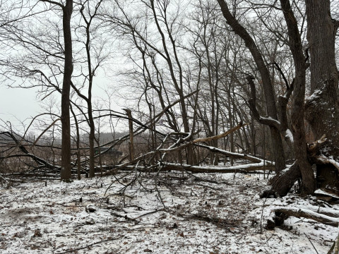
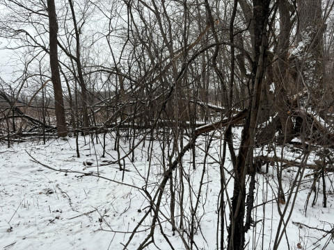
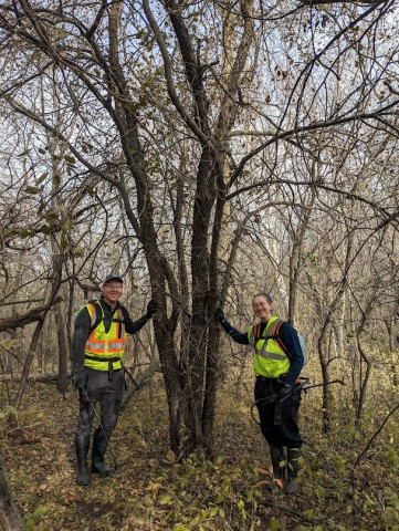
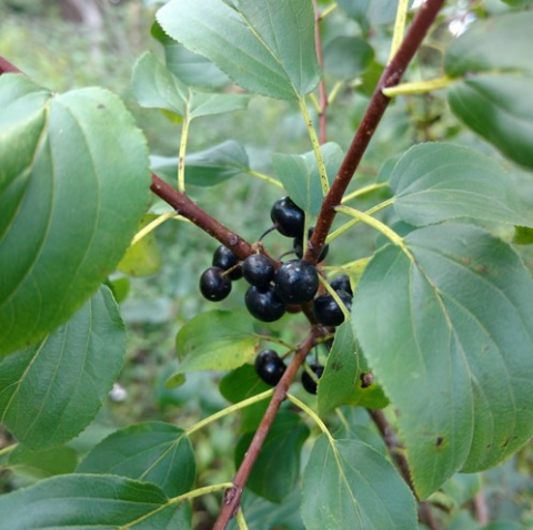
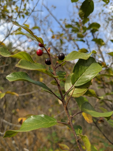
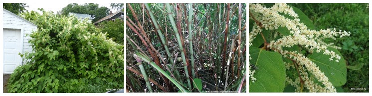
The Lamprey Pass site is currently overrun with common buckthorn, a large invasive shrub that crowds woodland understories and shades out native plants. ACD's crew is working hard to remove this invasive plant from the WMA, creating a more open habitat which will benefit native plant species and make the woodlands more hospitable for hunters. The images above and below demonstrate the impact of clearing buckthorn on the site. For more information about treating buckthorn, contact Logan Olson, Restoration Technician at Logan.Olson @AnokaSWCD.org