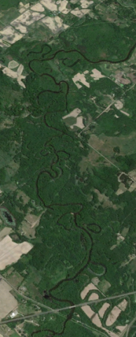
Rivers are essential resources and provide an immeasurable list of services that are critical for many ways of life throughout the world. Minnesota is home to many important river systems, such as the Mississippi River, that provide services which help sustain life and provide resources to help human economies thrive.
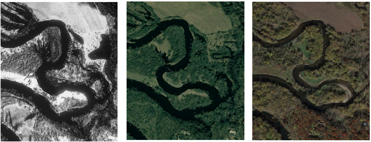
Minnesota's rivers endured decades of intensive impacts as the state industrialized, commonly used as a dumping grounds for untreated waste and modified extensively to make navigation easier. Our treatment of rivers has improved significantly in the years since, but human activity continues to impact them today. River systems are extremely complex in nature and many of the negative impacts caused by human activity go unrecognized or are misunderstood. Fortunately, there are many ways we can minimize our impacts and help restore our rivers to good health.
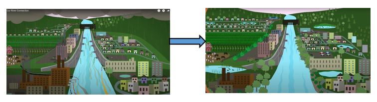
The Anoka Conservation District has proudly released a new animated video to help understand how rivers function and the role humans play in keeping them healthy. "Our River Connection" video brings you on a journey through a breadth of river topics, such as river formation, natural river behavior, current and historical human impacts, and actions we can take to protect them today. This video is suitable for a wide range of audiences, with narrative and visuals that are approachable and easy to digest. When you're done watching the video, you can take the companion quiz or explore the links in the video description to learn more.
ACD Contact: Breanna Keith,