The elected Board of ACD is moving forward with legislation to have the ability to levy property taxes for residents of Anoka County. With the levy limits included in the bill (HF3701) and ACD's other revenue streams, the anticipated levy increase for the average single family home in 2025 through 2029 is around $0.67 per year. Why bother pursuing legislation for such a small levy? That's a long story, but here's the gist of it.
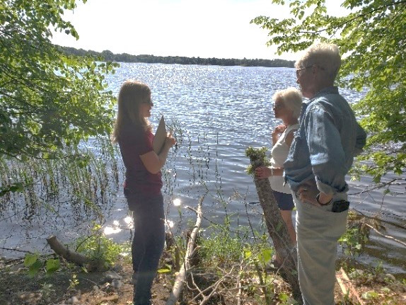
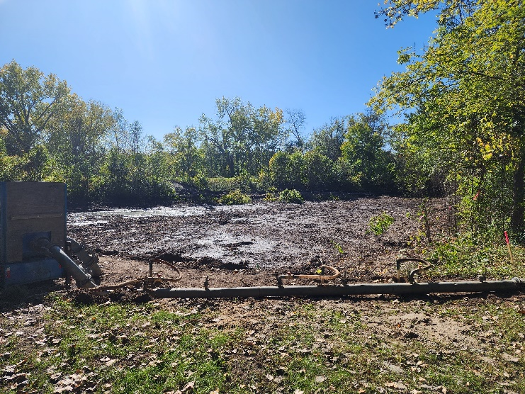
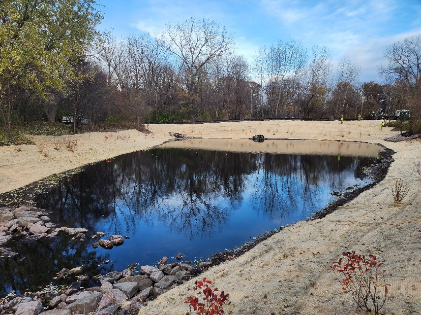
- ACD has been around since 1946 serving the public by providing financial and technical assistance to private landowners who want to be good stewards of our lakes, stream, wetlands, drinking water, wildlife, etc.
- ACD submits a budget to Anoka County to request funding to support our mission. The County has the option to fund all, some or none of the request.
- ACD's requests to the County compete for limited funding against transportation, public safety, social services, economic development, and parks and recreation.
- For 20 years, when population growth and inflation alone grew Anoka County's budget by 83%, ACD's allocation grew by 8.4%.
"So what you're saying is that if ACD gets its way, a family of four in Anoka County will have to give up one fancy cup of coffee every four years for cleaner lakes and rivers, better fishing, improved habitat for wildlife, and safer drinking water?" Well, when you put it that way…
For more information about ACD's pursuit for levy authority contact Chris Lord, District Manager, at